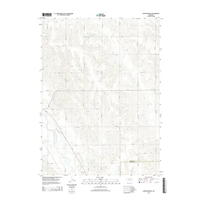
2014 Map of Cedar Rapids SE
USGS Topo · Published 2014About this map
The Cedar River carves through the southwestern corner of this agricultural region, marking a distinct change in the landscape where the dissected uplands meet the river valley. In the north and central portions, the terrain is defined by the winding paths of Plum Cr and Bogus Cr, which drain the rolling hills of Boone County. This 2014 survey illustrates the local importance of water management in the plains, evidenced by the presence of the Hollman Reservoir and Loeffler Reservoir. The border between Boone Co and Nance Co runs across the southern section, where the rigid grid of rural roads, such as 380th St and Road 227, overlays the natural hydrology. The map captures a moment in the modern rural economy where state routes like Ne-52 and Ne-56 connect the dispersed farmsteads of the Nebraska interior.
Find a feature on this map
28 named features on this map. Tap any name to fly to it.
Don’t see what you’re looking for? This feature index may not catch every label — zoom into the map to look around manually.
Map Details
Editions of this 2014 Cedar Rapids SE Map
This is the sole edition of this map. No revisions or reprints were ever made.
Other maps of this area

1896 · Stromsburg
USGS Topo · 1:125,000

1899 · St. Paul
USGS Topo · 1:125,000

1954 · Cedar Rapids
USGS Topo · 1:24,000

1954 · Akron
USGS Topo · 1:24,000

1954 · Albion West
USGS Topo · 1:24,000

1954 · Belgrade
USGS Topo · 1:24,000

1954 · Belgrade NW
USGS Topo · 1:24,000

1954 · Cedar Rapids SE
USGS Topo · 1:24,000

1955 · Broken Bow
USGS Topo · 1:250,000

1955 · Fremont
USGS Topo · 1:250,000