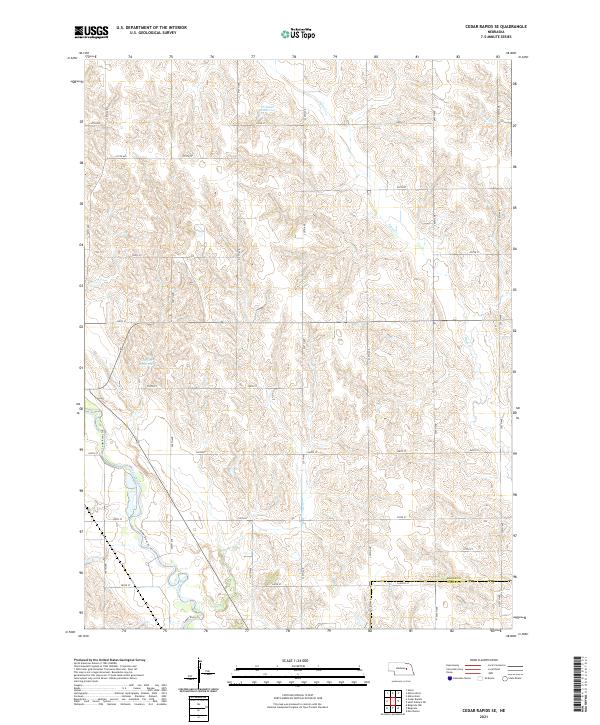
2021 Map of Cedar Rapids SE
USGS Topo · Published 2021About this map
Cedar River flows through the southwestern corner of this Nebraska landscape, where the agricultural grid meets the natural drainage systems of the Central Plains. The terrain is defined by the sharp transition between the upland plateau and the eroded valleys carved by Plum Cr and Bogus Cr. Water management is central to the land's utility, evidenced by the presence of the Hollman Reservoir in the north and the Loeffler Reservoir further south. The map documents the precise section lines of T19N R7W and T18N R6W, illustrating how the rural road network, including 310th St and 200th Ave, adheres to the Public Land Survey System. Along the river valley, the Cedar River Trl follows the water's edge, tracing a path through the borderlands where Boone Co meets the Nance Co line.
Find a feature on this map
35 named features on this map. Tap any name to fly to it.
Don’t see what you’re looking for? This feature index may not catch every label — zoom into the map to look around manually.
Map Details
Editions of this 2021 Cedar Rapids SE Map
This is the sole edition of this map. No revisions or reprints were ever made.
Other maps of this area

1896 · Stromsburg
USGS Topo · 1:125,000

1899 · St. Paul
USGS Topo · 1:125,000

1954 · Cedar Rapids
USGS Topo · 1:24,000

1954 · Akron
USGS Topo · 1:24,000

1954 · Albion West
USGS Topo · 1:24,000

1954 · Belgrade
USGS Topo · 1:24,000

1954 · Belgrade NW
USGS Topo · 1:24,000

1954 · Cedar Rapids SE
USGS Topo · 1:24,000

1955 · Broken Bow
USGS Topo · 1:250,000

1955 · Fremont
USGS Topo · 1:250,000