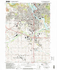
1994 Map of Cedar Rapids South
USGS Topo · Published 1994About this map
Cedar Rapids serves as the dominant urban core on this 1990s survey, defined by the winding path of the Cedar River and a dense network of suburban expansion. The landscape reveals a transition from the historic city center, with its complex of civic buildings on Municipal Island, to the newer commercial developments surrounding Westdale Mall and Hawkeye Downs. South of the city, the Cedar Rapids Municipal Airport and the expanding campus of Kirkwood Community College anchor the industrial and educational corridor.
Find a feature on this map
105 named features on this map. Tap any name to fly to it.
Don’t see what you’re looking for? This feature index may not catch every label — zoom into the map to look around manually.
Map Details
Editions of this 1994 Cedar Rapids South Map
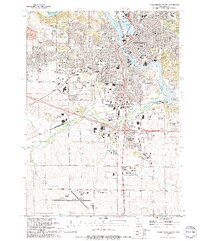
2 editions found
Other maps of this area

1887 · Cedar Rapids
USGS Topo · 1:62,500

1888 · Shellsburg
USGS Topo · 1:62,500

1888 · Marion
USGS Topo · 1:62,500

1888 · Amana
USGS Topo · 1:62,500

1889 · Marion
USGS Topo · 1:62,500

1889 · Amana
USGS Topo · 1:62,500

1889 · Shellsburg
USGS Topo · 1:62,500

1891 · Cedar Rapids
USGS Topo · 1:62,500

1899 · Amana
USGS Topo · 1:62,500

1899 · Shellsburg
USGS Topo · 1:62,500
Featured Places
- Cedar Rapids, IA
- Summit, Cedar Rapids
- West Cedar Rapids, Cedar Rapids
- Worthington Acres, Cedar Rapids
- Linn County, IA