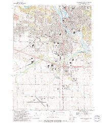
1994 Map of Cedar Rapids South
USGS Topo · Published 1994About this map
Cedar Rapids serves as the industrial and commercial anchor of this mid-1990s landscape, with its southern expansion clearly delineated by the Corporate Boundary pushing into the rural township. The Cedar River meanders through the heart of the city, passing Ellis Island and Municipal Island while supporting heavy infrastructure like the nearby filtration plant. The southern portion of the sheet is dominated by large-scale transportation and recreational hubs, including the Cedar Rapids Municipal Airport and the sprawling Hawkeye Downs fairground complex.
Find a feature on this map
80 named features on this map. Tap any name to fly to it.
Don’t see what you’re looking for? This feature index may not catch every label — zoom into the map to look around manually.
Map Details
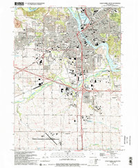
Editions of this 1994 Cedar Rapids South Map
2 editions found
Other maps of this area

1887 · Cedar Rapids
USGS Topo · 1:62,500

1888 · Shellsburg
USGS Topo · 1:62,500

1888 · Marion
USGS Topo · 1:62,500

1888 · Amana
USGS Topo · 1:62,500

1889 · Marion
USGS Topo · 1:62,500

1889 · Amana
USGS Topo · 1:62,500

1889 · Shellsburg
USGS Topo · 1:62,500

1891 · Cedar Rapids
USGS Topo · 1:62,500

1899 · Amana
USGS Topo · 1:62,500

1899 · Shellsburg
USGS Topo · 1:62,500
Featured Places
- Cedar Rapids, IA
- Summit, Cedar Rapids
- West Cedar Rapids, Cedar Rapids
- Worthington Acres, Cedar Rapids
- Linn County, IA