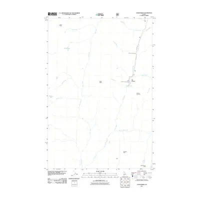
2011 Map of Cedar Ridge
USGS Topo · Published 2011About this map
Elk Summit Rd and Hoodoo Lake Rd provide the primary access through this high-elevation backcountry in Idaho County. The 2011 landscape is defined by its water system, with the central Cedar Creek flowing south between Friday Ridge and Cedar Ridge. To the east, the map detail focuses on the recreation corridor near Elk Summit, where travelers find Muleshoe Creek Camp and the Hoodoo Lake Campground adjacent to Hoodoo Lake. This area serves as a significant drainage basin, with East Fork Moose Creek, Dolph Creek, and Muleshoe Creek all carving paths through the steep terrain. The southern portion of the quadrangle is marked by prominent summits, including Gateway Peak and the Goat Heaven Peaks, while the western edge contains secluded high-mountain basins such as those holding Kidney Lake and Porphyry Lake.
Find a feature on this map
22 named features on this map. Tap any name to fly to it.
Don’t see what you’re looking for? This feature index may not catch every label — zoom into the map to look around manually.
Map Details
Editions of this 2011 Cedar Ridge Map
This is the sole edition of this map. No revisions or reprints were ever made.
Other maps of this area
1911 · Lolo
USGS Topo · 1:250,000
1913 · Lolo
USGS Topo · 1:250,000
1956 · Hamilton
USGS Topo · 1:250,000
1959 · Hamilton
USGS Topo · 1:250,000
1960 · Hamilton
USGS Topo · 1:250,000
1964 · Hamilton
USGS Topo · 1:250,000
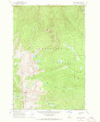
1966 · Grave Peak
USGS Topo · 1:24,000
1966 · Wahoo Peak
USGS Topo · 1:24,000
1966 · Freeman Peak
USGS Topo · 1:24,000
1966 · Saddle Mtn.
USGS Topo · 1:24,000