
1966 Map of Grave Peak
USGS Topo · Published 1968About this map
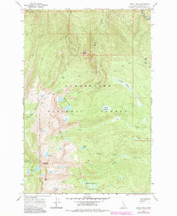
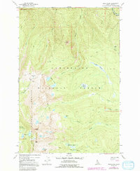
Grave Peak dominates this 1960s terrain in the high Idaho backcountry, marking a prominent summit within the Selway-Bitterroot Wilderness. The landscape is a network of drainage basins and glacial features, where the Clearwater National Forest meets steep ridgelines and high-altitude basins. A heavy concentration of alpine water bodies, including the Walton Lakes, Colt Lake, Grouse Lake, and the cluster at Wind Lakes, illustrates the hydrology of the Bitterroot Range before modern trail developments were extensively mapped.
Find a feature on this map
25 named features on this map. Tap any name to fly to it.
Don’t see what you’re looking for? This feature index may not catch every label — zoom into the map to look around manually.
Map Details
Editions of this 1966 Grave Peak Map
3 editions found
Other maps of this area

1911 · Lolo
USGS Topo · 1:250,000

1913 · Lolo
USGS Topo · 1:250,000

1956 · Hamilton
USGS Topo · 1:250,000

1959 · Hamilton
USGS Topo · 1:250,000

1960 · Hamilton
USGS Topo · 1:250,000

1964 · Hamilton
USGS Topo · 1:250,000

1964 · Rocky Point
USGS Topo · 1:24,000

1964 · Roundtop
USGS Topo · 1:24,000
1966 · Hungry Rock
USGS Topo · 1:24,000
1966 · Tom Beal Peak
USGS Topo · 1:24,000