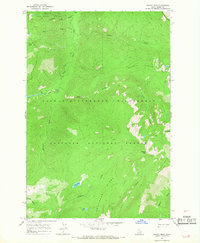
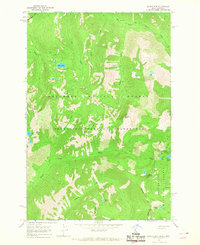
1966 Map of Wahoo Peak
USGS Topo · Published 1968About this map
Wahoo Peak serves as a central landmark for this high-altitude landscape in the mid-1960s, marking the boundary where the Clearwater National Forest meets the Nezperce National Forest. The map documents a primitive backcountry era within the Selway-Bitterroot Wilderness, where human presence is defined almost entirely by a network of pack trails rather than roads. Significant water features like Indian Lake and Maple Lake are tucked between prominent rises such as Pettibone Ridge and Battle Creek Ridge. The topographic detail reveals a landscape shaped by narrow drainages and alpine basins, including Horsefly Meadows and the heights of Goat Heaven Peaks, providing a precise record of this protected wilderness before modern digital mapping.
Find a feature on this map
32 named features on this map. Tap any name to fly to it.
Don’t see what you’re looking for? This feature index may not catch every label — zoom into the map to look around manually.
Map Details
Editions of this 1966 Wahoo Peak Map
3 editions found
Other maps of this area

1911 · Lolo
USGS Topo · 1:250,000

1913 · Lolo
USGS Topo · 1:250,000

1956 · Hamilton
USGS Topo · 1:250,000

1959 · Hamilton
USGS Topo · 1:250,000

1960 · Hamilton
USGS Topo · 1:250,000

1964 · Hamilton
USGS Topo · 1:250,000

1966 · Twin Butte
USGS Topo · 1:24,000

1966 · Dog Creek
USGS Topo · 1:24,000
1966 · Freeman Peak
USGS Topo · 1:24,000
1966 · Saddle Mtn.
USGS Topo · 1:24,000