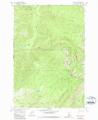
1966 Map of Wahoo Peak
USGS Topo · Published 1987About this map
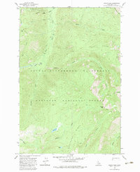
Wahoo Peak serves as a central landmark in this remote section of the northern Rockies, where the Selway-Bitterroot Wilderness converges with the Clearwater National Forest and Nez Perce National Forest. The landscape is defined by its dramatic elevation changes, captured through detailed topographic contours that trace the high ridges of Battle Ridge and Pettibone Ridge. A network of Pack Trails provides the primary means of navigation through the steep terrain, connecting isolated points like Elbow Bend and the high alpine basins of Indian Lake and Sid Lake.
Find a feature on this map
27 named features on this map. Tap any name to fly to it.
Don’t see what you’re looking for? This feature index may not catch every label — zoom into the map to look around manually.
Map Details
Editions of this 1966 Wahoo Peak Map
3 editions found
Other maps of this area

1911 · Lolo
USGS Topo · 1:250,000

1913 · Lolo
USGS Topo · 1:250,000

1956 · Hamilton
USGS Topo · 1:250,000

1959 · Hamilton
USGS Topo · 1:250,000

1960 · Hamilton
USGS Topo · 1:250,000

1964 · Hamilton
USGS Topo · 1:250,000

1966 · Twin Butte
USGS Topo · 1:24,000

1966 · Dog Creek
USGS Topo · 1:24,000
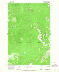
1966 · Wahoo Peak
USGS Topo · 1:24,000
1966 · Freeman Peak
USGS Topo · 1:24,000