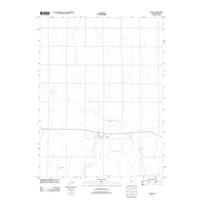
2012 Map of Cedar
USGS Topo · Published 2012About this map
The N Fork Solomon River meanders across the southern portion of this North Central Kansas landscape, providing the primary hydrological backbone for the small community of Cedar. This 2012 survey shows the township's grid oriented around Main St and Center St, illustrating a classic rural settlement pattern typical of Smith County. The presence of the Kirwin Main Canal north of the river indicates a landscape heavily influenced by irrigation infrastructure, which supports the agricultural productivity of the surrounding plains.
Find a feature on this map
11 named features on this map. Tap any name to fly to it.
Don’t see what you’re looking for? This feature index may not catch every label — zoom into the map to look around manually.
Map Details
Editions of this 2012 Cedar Map
This is the sole edition of this map. No revisions or reprints were ever made.
Other maps of this area

1893 · Smith Center
USGS Topo · 1:125,000

1893 · Phillipsburg
USGS Topo · 1:125,000

1955 · Beloit
USGS Topo · 1:250,000

1959 · Beloit
USGS Topo · 1:250,000

1961 · Kirwin SE
USGS Topo · 1:24,000

1961 · Harlan
USGS Topo · 1:24,000

1961 · Gaylord SW
USGS Topo · 1:24,000

1972 · Kirwin
USGS Topo · 1:24,000

1973 · Kensington
USGS Topo · 1:24,000

1973 · Athol
USGS Topo · 1:24,000