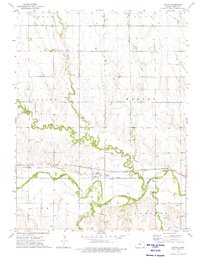
1973 Map of Cedar
USGS Topo · Published 1975About this map
The Cedar township and its surrounding rural landscape define this mid-1970s survey of Smith County. Located along the North Fork Solomon River, the settlement is a hub of agricultural activity and transportation, situated where the Missouri Pacific railroad runs parallel to the waterway. The map reveals an intricate water management system designed for the plains, characterized by the Kirwin Main Canal and a series of siphons that move water across the rolling terrain.
Find a feature on this map
17 named features on this map. Tap any name to fly to it.
Don’t see what you’re looking for? This feature index may not catch every label — zoom into the map to look around manually.
Map Details
Editions of this 1973 Cedar Map
This is the sole edition of this map. No revisions or reprints were ever made.
Other maps of this area

1893 · Smith Center
USGS Topo · 1:125,000

1893 · Phillipsburg
USGS Topo · 1:125,000

1955 · Beloit
USGS Topo · 1:250,000

1959 · Beloit
USGS Topo · 1:250,000

1961 · Kirwin SE
USGS Topo · 1:24,000

1961 · Harlan
USGS Topo · 1:24,000

1961 · Gaylord SW
USGS Topo · 1:24,000

1972 · Kirwin
USGS Topo · 1:24,000

1973 · Kensington
USGS Topo · 1:24,000

1973 · Athol
USGS Topo · 1:24,000