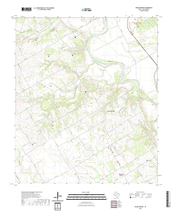
2022 Map of Cedar Springs
USGS Topo · Published 2022About this map
Cedar Springs and Pleasant Grove anchor this agricultural landscape in Falls County, where the meandering Brazos River creates a complex network of waterways including Wild Horse Slough and Poole Cr. The region is defined by a deep-rooted rural cemetery system, featuring family and community burial grounds such as China Grove Cem, Gravel Hill Cem, and Broadus Cem. These sites, often located at the end of winding county roads like Co RD 406a and Co RD 305, offer significant value for genealogists tracing early Texas families.
Find a feature on this map
65 named features on this map. Tap any name to fly to it.
Don’t see what you’re looking for? This feature index may not catch every label — zoom into the map to look around manually.
Map Details
Editions of this 2022 Cedar Springs Map
This is the sole edition of this map. No revisions or reprints were ever made.
Other maps of this area

1892 · Temple
USGS Topo · 1:125,000

1954 · Waco
USGS Topo · 1:250,000

1955 · Waco
USGS Topo · 1:250,000

1957 · McClanahan
USGS Topo · 1:24,000

1957 · Chilton
USGS Topo · 1:24,000

1957 · Marlin
USGS Topo · 1:24,000

1961 · Baileyville
USGS Topo · 1:24,000

1962 · Rosebud
USGS Topo · 1:24,000

1962 · Reagan
USGS Topo · 1:24,000

1962 · Cedar Springs
USGS Topo · 1:24,000