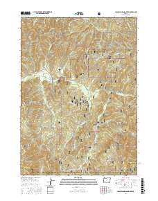
2017 Map of Cedar Springs Mountain
USGS Topo · Published 2017About this map
The Meadows serves as a central point of human settlement within this 2017 survey of the borderlands between Douglas and Jackson Counties. The landscape is dominated by the steep drainage systems of the Umpqua National Forest, where waterways like Cow Creek have carved significant features such as the Cow Creek Gorge. High-elevation landmarks including Cedar Springs Mountain, Ike Butte, and Panther Peak define the topography, illustrating the complex verticality of this southern Oregon region.
Find a feature on this map
109 named features on this map. Tap any name to fly to it.
Don’t see what you’re looking for? This feature index may not catch every label — zoom into the map to look around manually.
Map Details
Editions of this 2017 Cedar Springs Mountain Map
This is the sole edition of this map. No revisions or reprints were ever made.
Other maps of this area
1891 · Ashland
USGS Topo · 1:250,000
1893 · Ashland
USGS Topo · 1:250,000
1897 · Ashland
USGS Topo · 1:250,000
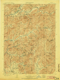
1904 · Riddle
USGS Topo · 1:125,000
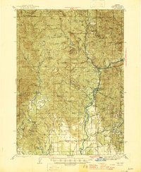
1943 · Trail
USGS Topo · 1:62,500
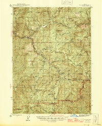
1944 · Tiller
USGS Topo · 1:62,500
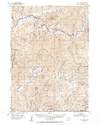
1954 · Days Creek
USGS Topo · 1:62,500
1954 · Wimer
USGS Topo · 1:62,500

1955 · Medford
USGS Topo · 1:250,000
1957 · Medford
USGS Topo · 1:250,000