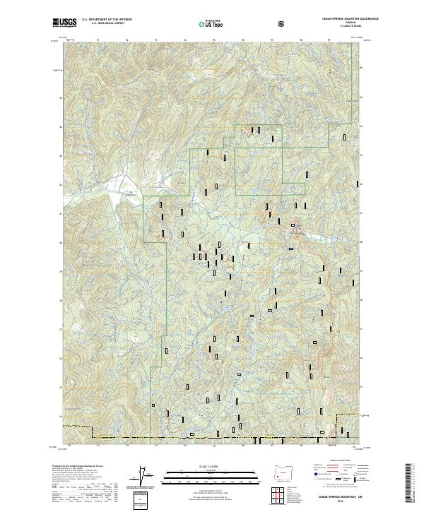
2023 Map of Cedar Springs Mountain
USGS Topo · Published 2023About this map
Cow Creek winds through the heart of this terrain, carving the dramatic Cow Creek Gorge near Devils Flat. This portion of the Umpqua National Forest is defined by its network of forest roads and ridgeline spurs, including the Lower Snow Rdg and Meadow Ridge Sp. The presence of the Miller Mine in the northwestern corner points to the region's history of mineral extraction, while a small settlement at The Meadows represents a rare point of habitation amidst the peaks.
Find a feature on this map
68 named features on this map. Tap any name to fly to it.
Don’t see what you’re looking for? This feature index may not catch every label — zoom into the map to look around manually.
Map Details
Editions of this 2023 Cedar Springs Mountain Map
This is the sole edition of this map. No revisions or reprints were ever made.
Other maps of this area

1891 · Ashland
USGS Topo · 1:250,000

1893 · Ashland
USGS Topo · 1:250,000

1897 · Ashland
USGS Topo · 1:250,000

1904 · Riddle
USGS Topo · 1:125,000

1943 · Trail
USGS Topo · 1:62,500

1944 · Tiller
USGS Topo · 1:62,500

1954 · Days Creek
USGS Topo · 1:62,500

1954 · Wimer
USGS Topo · 1:62,500

1955 · Medford
USGS Topo · 1:250,000

1957 · Medford
USGS Topo · 1:250,000