
1935 Map of Cedar Springs
USGS Topo · Published 1935About this map
The boundary between Smyth and Wythe counties cuts through this 1935 survey, highlighting the rural institutional life that persisted along the northern slopes of Unaka National Forest. Local families in this pocket of Southwest Virginia were served by landmarks like Lindamood Sch and Union Sch, while religious gatherings centered at Union Chapel and the nearby Union Ch.
Find a feature on this map
20 named features on this map. Tap any name to fly to it.
Don’t see what you’re looking for? This feature index may not catch every label — zoom into the map to look around manually.
Map Details
Editions of this 1935 Cedar Springs Map
This is the sole edition of this map. No revisions or reprints were ever made.
Other maps of this area

1889 · Wytheville
USGS Topo · 1:125,000

1892 · Wytheville
USGS Topo · 1:125,000

1930 · Speedwell
USGS Topo · 1:62,500

1930 · Independence
USGS Topo · 1:48,000

1931 · Rural Retreat
USGS Topo · 1:48,000

1933 · Independence
USGS Topo · 1:62,500

1935 · Nebo
USGS Topo · 1:24,000

1935 · Mouth of Wilson
USGS Topo · 1:48,000
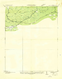
1935 · Trout Dale
USGS Topo · 1:24,000
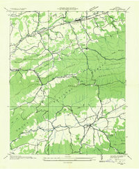
1935 · Atkins
USGS Topo · 1:24,000