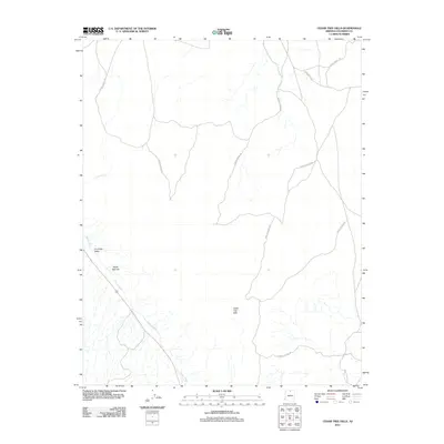
2011 Map of Cedar Tree Hills
USGS Topo · Published 2011About this map
Cedar Tree Hills rise above a landscape defined by seasonal drainage and high desert terrain in this northern Arizona quadrangle. The map captures a transition of elevation and geography, where the prominent North Red Hill overlooks the broad Cornfield Valley. Access to this portion of Coconino County is facilitated by a network of primitive routes, including Forest Service Rd and Indian Rte 6210, indicating a region utilized for land management and local transit. Hydrological features such as Tanner Wash and Curve Wash illustrate the complex drainage patterns typical of the area, providing a precise record of the natural contours and dry creek beds as they existed in the early 21st century.
Find a feature on this map
7 named features on this map. Tap any name to fly to it.
Don’t see what you’re looking for? This feature index may not catch every label — zoom into the map to look around manually.
Map Details
Editions of this 2011 Cedar Tree Hills Map
This is the sole edition of this map. No revisions or reprints were ever made.
Other maps of this area
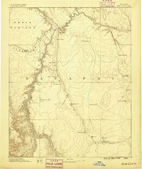
1886 · Echo Cliffs
USGS Topo · 1:250,000
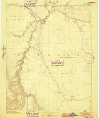
1891 · Echo Cliffs
USGS Topo · 1:250,000
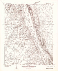
1954 · Shinumo Altar NE
USGS Topo · 1:24,000
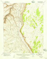
1954 · Tanner Wash
USGS Topo · 1:62,500
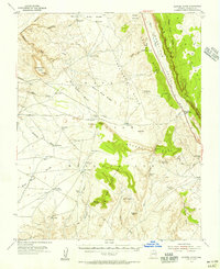
1954 · Shinumo Altar
USGS Topo · 1:62,500
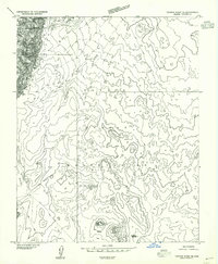
1955 · Tanner Wash NE
USGS Topo · 1:24,000

1956 · Marble Canyon
USGS Topo · 1:250,000

1959 · Marble Canyon
USGS Topo · 1:250,000

1961 · Marble Canyon
USGS Topo · 1:250,000
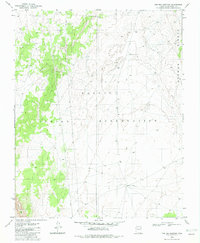
1982 · Toh Bih Nosteny
USGS Topo · 1:24,000