
1954 Map of Tanner Wash
USGS Topo · Published 1956About this map
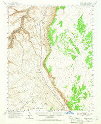
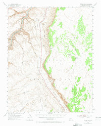
Marble Canyon and the winding Colorado River dominate the western edge of this mid-century survey, showcasing the geological scale of the Navajo Indian Reservation. The terrain transitions from the river's Sheer Wall Rapids and House Rock Rapids up through the Petal Hills and into the broad Little Colorado Valley. This era of the landscape is defined by its remoteness and the critical importance of water sources, indicated by the presence of Bitter Spring, Tanner Well, and Limestone Tanks.
Find a feature on this map
47 named features on this map. Tap any name to fly to it.
Don’t see what you’re looking for? This feature index may not catch every label — zoom into the map to look around manually.
Map Details
Editions of this 1954 Tanner Wash Map
3 editions found
Other maps of this area

1886 · Echo Cliffs
USGS Topo · 1:250,000

1891 · Echo Cliffs
USGS Topo · 1:250,000

1954 · Emmett Wash NE
USGS Topo · 1:24,000

1954 · Paria Plateau SE
USGS Topo · 1:24,000

1954 · Lees Ferry SE
USGS Topo · 1:24,000

1954 · Shinumo Altar NE
USGS Topo · 1:24,000

1954 · Lees Ferry SW
USGS Topo · 1:24,000

1954 · Nankoweap
USGS Topo · 1:62,500

1954 · Emmett Wash
USGS Topo · 1:62,500

1954 · Leche-E Rock
USGS Topo · 1:62,500