
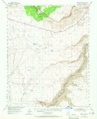
1954 Map of Emmett Wash
USGS Topo · Published 1956About this map
The Vermilion Cliffs and the Paria Plateau dominate this 1950s landscape, where the dramatic elevation drops of the Colorado Plateau meet the Colorado River. This mid-century survey documents a sparsely populated ranching and wilderness area along the Navajo Indian Reservation boundary. Small, remote outposts like Jacob Pools and Cliff Dwellers Lodge serve as rare points of human habitation between the vast stretches of House Rock Valley and the Kaibab National Forest.
Find a feature on this map
41 named features on this map. Tap any name to fly to it.
Don’t see what you’re looking for? This feature index may not catch every label — zoom into the map to look around manually.
Map Details
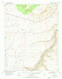
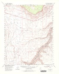
Editions of this 1954 Emmett Wash Map
4 editions found
Other maps of this area

1886 · Echo Cliffs
USGS Topo · 1:250,000

1886 · Kaibab
USGS Topo · 1:250,000

1891 · Echo Cliffs
USGS Topo · 1:250,000

1936 · Jacobs Lake
USGS Topo · 1:48,000

1940 · Jacob Lake
USGS Topo · 1:62,500

1953 · Jacobs Lake
USGS Topo · 1:62,500

1953 · Grand Canyon
USGS Topo · 1:250,000

1954 · Emmett Wash NE
USGS Topo · 1:24,000

1954 · Emmett Wash NW
USGS Topo · 1:24,000

1954 · Paria Plateau SE
USGS Topo · 1:24,000