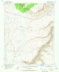
1954 Map of Emmett Wash
USGS Topo · Published 1965About this map
The Colorado River carves a deep path through northern Arizona in this 1954 topographic survey, defining the eastern edge of the Kaibab National Forest and the Navajo Indian Reservation Boundary. The landscape is dominated by the sheer rise of the Vermilion Cliffs and the elevated expanse of the Paria Plateau. Human presence is sparse, centered on remote outposts like Cliff Dwellers Lodge and family holdings such as Anderson Ranch, Bean Hole Ranch, and House Kram Ranch.
Find a feature on this map
40 named features on this map. Tap any name to fly to it.
Don’t see what you’re looking for? This feature index may not catch every label — zoom into the map to look around manually.
Map Details
Editions of this 1954 Emmett Wash Map
4 editions found

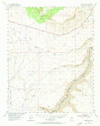
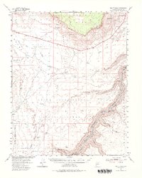
Other maps of this area

1886 · Echo Cliffs
USGS Topo · 1:250,000

1886 · Kaibab
USGS Topo · 1:250,000

1891 · Echo Cliffs
USGS Topo · 1:250,000

1936 · Jacobs Lake
USGS Topo · 1:48,000

1940 · Jacob Lake
USGS Topo · 1:62,500

1953 · Jacobs Lake
USGS Topo · 1:62,500

1953 · Grand Canyon
USGS Topo · 1:250,000

1954 · Emmett Wash NE
USGS Topo · 1:24,000

1954 · Emmett Wash NW
USGS Topo · 1:24,000

1954 · Paria Plateau SE
USGS Topo · 1:24,000