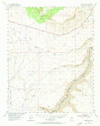
1954 Map of Emmett Wash
USGS Topo · Published 1973About this map
Marble Canyon and the winding Colorado River dominate the eastern boundary of this mid-century survey, marking the transition between the Navajo Indian Reservation and the sprawling public lands to the west. The landscape is defined by massive geological formations like the Vermillion Cliffs and the Paria Plateau, where elevations drop sharply into House Rock Valley. Sparse human activity is concentrated at small outposts such as Cliff Dwellers Lodge and family operations like Anderson Ranch and Bean Hole Ranch. The presence of several stock tanks and the Buffalo Range indicates the region's reliance on cattle and bison management in an arid environment. Navigating the terrain requires following established paths like Sandhill Crack or tracing the seasonal flows of Emmett Wash and Soap Creek, which carve deep paths through the high plateaus and into the canyon floor.
Find a feature on this map
49 named features on this map. Tap any name to fly to it.
Don’t see what you’re looking for? This feature index may not catch every label — zoom into the map to look around manually.
Map Details
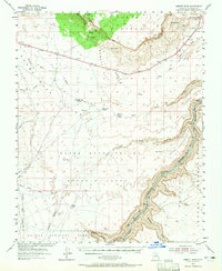
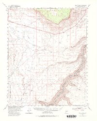
Editions of this 1954 Emmett Wash Map
4 editions found

Other maps of this area

1886 · Echo Cliffs
USGS Topo · 1:250,000

1886 · Kaibab
USGS Topo · 1:250,000

1891 · Echo Cliffs
USGS Topo · 1:250,000

1936 · Jacobs Lake
USGS Topo · 1:48,000

1940 · Jacob Lake
USGS Topo · 1:62,500

1953 · Jacobs Lake
USGS Topo · 1:62,500

1953 · Grand Canyon
USGS Topo · 1:250,000

1954 · Emmett Wash NE
USGS Topo · 1:24,000

1954 · Emmett Wash NW
USGS Topo · 1:24,000

1954 · Paria Plateau SE
USGS Topo · 1:24,000