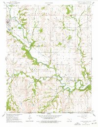
1962 Map of Cedar Vale East
USGS Topo · Published 1977About this map
The Old Indian Treaty Boundary cuts through this Chautauqua County landscape, marking a historical divide just north of the Kansas Oklahoma state line. The survey captures the transition of the southern Kansas prairie as it meets the Osage Hills, dominated by the winding course of the Caney River and its major tributaries like Cedar Creek. To the northwest, the town of Cedar Vale serves as a hub, while smaller communities and historical stops like Osro, Layton, and Hewins appear along the drainage systems. The presence of Oil Wells and the Missouri Pacific railroad tracks reflects the mid-century industrial footprint, contrasting with the preservation of local history found at the Grant Creek Cem and Rosa Dale Cem. Topography reveals a landscape shaped by water, from the Osro Falls to the various Rapids that historically influenced settlement patterns in Jefferson and Harrison townships.
Find a feature on this map
31 named features on this map. Tap any name to fly to it.
Don’t see what you’re looking for? This feature index may not catch every label — zoom into the map to look around manually.
Map Details
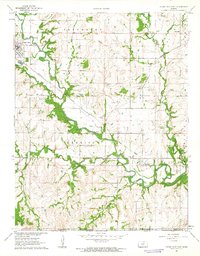
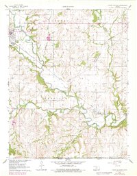
Editions of this 1962 Cedar Vale East Map
3 editions found
Other maps of this area

1885 · Sedan
USGS Topo · 1:125,000

1889 · Burden
USGS Topo · 1:125,000

1889 · Sedan
USGS Topo · 1:125,000

1909 · Pawhuska
USGS Topo · 1:125,000

1910 · Pawhuska
USGS Topo · 1:125,000

1916 · Foraker
USGS Topo · 1:62,500

1955 · Wichita
USGS Topo · 1:250,000

1955 · Enid
USGS Topo · 1:250,000

1958 · Enid
USGS Topo · 1:250,000

1958 · Wichita
USGS Topo · 1:250,000