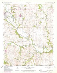
1962 Map of Cedar Vale East
USGS Topo · Published 1979About this map
Caney River winds through the southeastern corner of Kansas in this survey of Chautauqua County, where the topography is defined by the sinuous waterway and its many tributaries like Spring Branch and Cedar Creek. The settlement of Cedar Vale sits near the northwest corner, characterized by its proximity to riverine features like Rapids and Falls. A significant historical line, the Old Indian Treaty Boundary, cuts horizontally across the landscape, marking an era of shifting territorial control.
Find a feature on this map
33 named features on this map. Tap any name to fly to it.
Don’t see what you’re looking for? This feature index may not catch every label — zoom into the map to look around manually.
Map Details
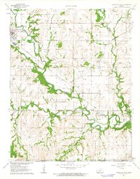
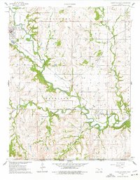
Editions of this 1962 Cedar Vale East Map
3 editions found
Other maps of this area

1885 · Sedan
USGS Topo · 1:125,000

1889 · Burden
USGS Topo · 1:125,000

1889 · Sedan
USGS Topo · 1:125,000

1909 · Pawhuska
USGS Topo · 1:125,000

1910 · Pawhuska
USGS Topo · 1:125,000

1916 · Foraker
USGS Topo · 1:62,500

1955 · Wichita
USGS Topo · 1:250,000

1955 · Enid
USGS Topo · 1:250,000

1958 · Enid
USGS Topo · 1:250,000

1958 · Wichita
USGS Topo · 1:250,000