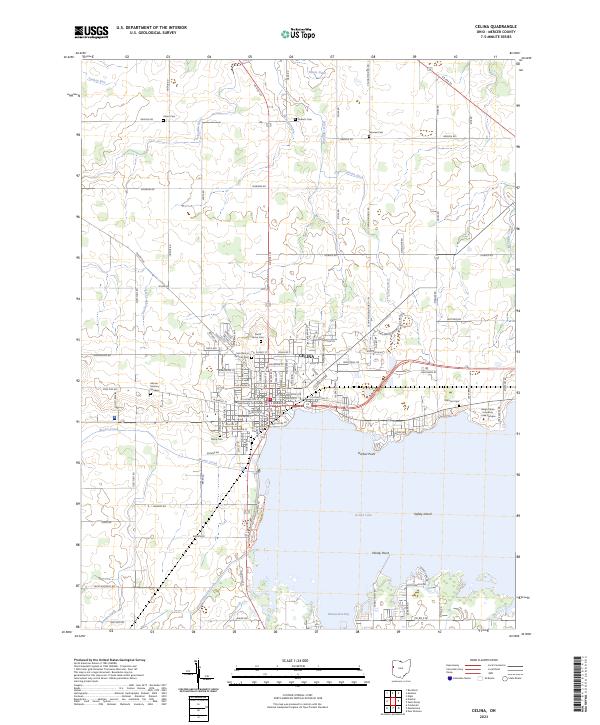
2023 Map of Celina
USGS Topo · Published 2023About this map
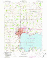
The Mercer County Courthouse stands as the central landmark of Celina, a city defined by its position on the northwestern shores of Grand Lake. This landscape is shaped by an extensive network of drainage ditches and creeks, including Twelvemile Creek and Beaver Creek, which flow through the surrounding agricultural sections. The map reveals a high density of historical burial grounds such as Saint Marys Catholic Cem and North Grove Cem, providing valuable touchpoints for genealogical research in Mercer County. Along the water's edge, the development of Harbor Point and the presence of the Wright State University - Lake Campus underscore the lake's modern role as both a residential and educational hub, while features like Safety Island and Windy Point detail the coastline's character.
Find a feature on this map
108 named features on this map. Tap any name to fly to it.
Don’t see what you’re looking for? This feature index may not catch every label — zoom into the map to look around manually.
Map Details
Editions of this 2023 Celina Map
This is the sole edition of this map. No revisions or reprints were ever made.
Historical Maps of Turtle Neck Point Through Time
4 maps found