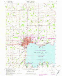
1960 Map of Celina
USGS Topo · Published 1983About this map
The expansive waters of Grand Lake-St Marys dominate the southern half of this map, meeting the urban edge of Celina along its northern shore. This 1960 survey, updated with 1980 photogrammetric data, captures the city as a regional hub for Mercer County, showing the dense development around the Hospital and the Norfolk and Western rail lines. Beyond the city limits, the landscape transitions into a grid of rural section lines defined by family-named roads like Oregon Road and Hayes Road.
Find a feature on this map
55 named features on this map. Tap any name to fly to it.
Don’t see what you’re looking for? This feature index may not catch every label — zoom into the map to look around manually.
Map Details
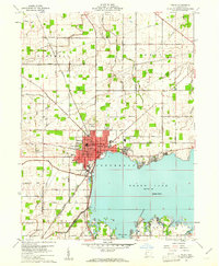
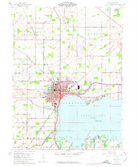
Editions of this 1960 Celina Map
3 editions found
Other maps of this area

1908 · St. Henry
USGS Topo · 1:62,500

1909 · Loramie
USGS Topo · 1:62,500

1911 · Loramie
USGS Topo · 1:62,500

1911 · Spencerville
USGS Topo · 1:62,500

1914 · Celina
USGS Topo · 1:62,500

1944 · Loramie
USGS Topo · 1:62,500

1944 · Celina
USGS Topo · 1:62,500

1944 · Spencerville
USGS Topo · 1:62,500

1953 · Muncie
USGS Topo · 1:250,000

1956 · Muncie
USGS Topo · 1:250,000