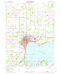
1960 Map of Celina
USGS Topo · Published 1974About this map
Grand Lake dominates the southern landscape of this Mercer County survey, providing a focal point for the growth of Celina and neighboring Montezuma. In the early 1960s, the region was defined by a transition from organized municipal centers to a dense network of family-owned farmsteads and rural institutions. The map reveals the intricate water system feeding the lake, including Beaver Creek and Twelvemile Creek, while human activity is marked by the presence of an Oil Well and the Sewage Disposal works near the lakefront.
Find a feature on this map
63 named features on this map. Tap any name to fly to it.
Don’t see what you’re looking for? This feature index may not catch every label — zoom into the map to look around manually.
Map Details
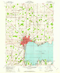
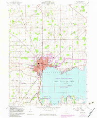
Editions of this 1960 Celina Map
3 editions found
Other maps of this area

1908 · St. Henry
USGS Topo · 1:62,500

1909 · Loramie
USGS Topo · 1:62,500

1911 · Loramie
USGS Topo · 1:62,500

1911 · Spencerville
USGS Topo · 1:62,500

1914 · Celina
USGS Topo · 1:62,500

1944 · Loramie
USGS Topo · 1:62,500

1944 · Celina
USGS Topo · 1:62,500

1944 · Spencerville
USGS Topo · 1:62,500

1953 · Muncie
USGS Topo · 1:250,000

1956 · Muncie
USGS Topo · 1:250,000