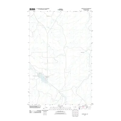
2011 Map of Cement Hill
USGS Topo · Published 2011About this map
Beaver Creek flows through this Hill County landscape, where the Beaver Creek Reservoir Dam controls the local waters just south of the Beaver Creek Park Campground. The terrain is marked by distinctive high points like Cement Hill in the north and the drainage of Hobbs Ravine to the east. Transportation through this part of north-central Montana is defined by the corridors of Bullhook Rd and Beaver Creek Rd, which trace the natural paths carved by Bullhook Creek and its sister waterways. The placement of the dam and reservoir suggests a managed water system designed for the recreational and agricultural needs of the high plains, providing a specific look at the rural infrastructure of the region during the early twenty-first century.
Find a feature on this map
8 named features on this map. Tap any name to fly to it.
Don’t see what you’re looking for? This feature index may not catch every label — zoom into the map to look around manually.
Map Details
Editions of this 2011 Cement Hill Map
This is the sole edition of this map. No revisions or reprints were ever made.
Other maps of this area

1904 · Havre
USGS Topo · 1:62,500

1904 · Assinniboine
USGS Topo · 1:62,500

1912 · Thibedeau Lake
USGS Topo · 1:125,000

1953 · Havre
USGS Topo · 1:250,000

1957 · Havre
USGS Topo · 1:250,000

1958 · Havre
USGS Topo · 1:250,000

1959 · Laredo
USGS Topo · 1:62,500

1959 · Shambo
USGS Topo · 1:62,500

1964 · Havre SE
USGS Topo · 1:24,000

1964 · Havre
USGS Topo · 1:24,000