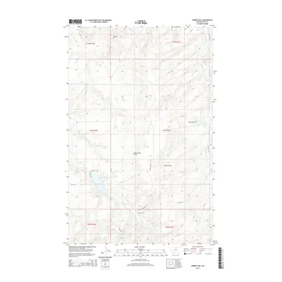
2014 Map of Cement Hill
USGS Topo · Published 2014About this map
Cement Hill rises as a prominent landmark in this portion of Hill County, Montana, anchoring a landscape defined by deep drainages and rural high-plains topography. The drainage of Indian Woman Coulee cuts through the central terrain, while Hobbs Ravine and Bullhook Cr shape the eastern reaches. This 2014 survey documents the modern road network essential to this ranching and agricultural region, including the north-south transit of MT-234 and local routes like Crystal Springs Rd and Stallcup Rd. To the southwest, Lower Lake serves as a significant water feature, surrounded by the headwaters of Beaver Cr. The map provides a clear look at the Public Land Survey System grid, illustrating how section lines and townships such as t31n r15e and t31n r16e organize the open country.
Find a feature on this map
19 named features on this map. Tap any name to fly to it.
Don’t see what you’re looking for? This feature index may not catch every label — zoom into the map to look around manually.
Map Details
Editions of this 2014 Cement Hill Map
This is the sole edition of this map. No revisions or reprints were ever made.
Other maps of this area

1904 · Havre
USGS Topo · 1:62,500

1904 · Assinniboine
USGS Topo · 1:62,500

1912 · Thibedeau Lake
USGS Topo · 1:125,000

1953 · Havre
USGS Topo · 1:250,000

1957 · Havre
USGS Topo · 1:250,000

1958 · Havre
USGS Topo · 1:250,000

1959 · Laredo
USGS Topo · 1:62,500

1959 · Shambo
USGS Topo · 1:62,500

1964 · Havre SE
USGS Topo · 1:24,000

1964 · Havre
USGS Topo · 1:24,000