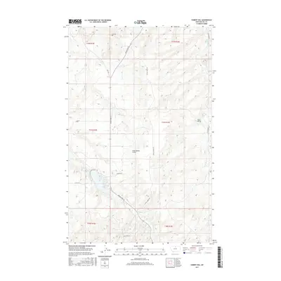
2017 Map of Cement Hill
USGS Topo · Published 2017About this map
Beaver Cr and Bullhook Cr shape the drainage patterns of this Montana landscape, where the northern plains meet distinctive topographic breaks. This Hill County terrain is defined by dramatic landforms such as Cement Hill and the deeply cut Hobbs Ravine. A network of secondary roads, including Beaver Creek Rd and Crystal Springs Rd, provides access across the various township and range sections. The map reveals the intricate natural geography of Indian Woman Coulee, illustrating how seasonal water flow has carved the surface over time. This 2017 edition preserves the modern configuration of rural boundaries and access routes like Anderson Rd and Butte Rd, serving as a primary source for understanding the spatial relationship between these named features and the surrounding rangeland.
Find a feature on this map
19 named features on this map. Tap any name to fly to it.
Don’t see what you’re looking for? This feature index may not catch every label — zoom into the map to look around manually.
Map Details
Editions of this 2017 Cement Hill Map
This is the sole edition of this map. No revisions or reprints were ever made.
Other maps of this area

1904 · Havre
USGS Topo · 1:62,500

1904 · Assinniboine
USGS Topo · 1:62,500

1912 · Thibedeau Lake
USGS Topo · 1:125,000

1953 · Havre
USGS Topo · 1:250,000

1957 · Havre
USGS Topo · 1:250,000

1958 · Havre
USGS Topo · 1:250,000

1959 · Laredo
USGS Topo · 1:62,500

1959 · Shambo
USGS Topo · 1:62,500

1964 · Havre SE
USGS Topo · 1:24,000

1964 · Havre
USGS Topo · 1:24,000