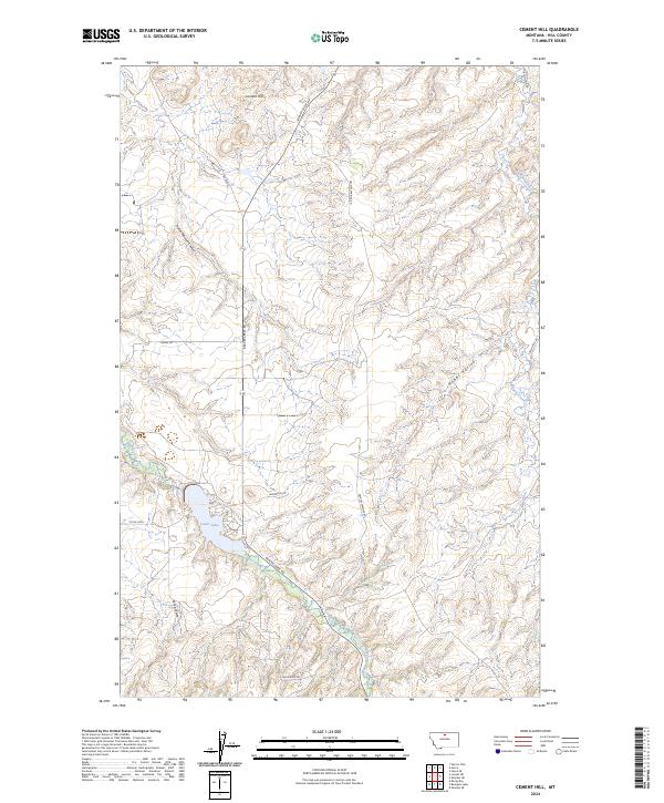
2024 Map of Cement Hill
USGS Topo · Published 2024About this map
Cement Hill rises as a prominent landmark north of the deep-cut drainage of Indian Woman Coulee, characterizing the high plains of Hill County. The landscape is defined by the winding course of Beaver Creek, which flows past Lower Lake and is paralleled by Beaver Creek Rd. This modern survey illustrates the complex system of coulees and ravines, such as Spring Coulee and Hobbs Ravine, that drain the upland plateaus. The road network reflects local land use, with family-named routes like Anderson Rd and Bullhook Rd providing access to the interior. To the east, Bullhook Creek carves through the terrain, while Crystal Springs Rd and Butte Rd navigate the township and range boundaries that still organize this rural Montana cattle country.
Find a feature on this map
21 named features on this map. Tap any name to fly to it.
Don’t see what you’re looking for? This feature index may not catch every label — zoom into the map to look around manually.
Map Details
Editions of this 2024 Cement Hill Map
This is the sole edition of this map. No revisions or reprints were ever made.
Other maps of this area

1904 · Havre
USGS Topo · 1:62,500

1904 · Assinniboine
USGS Topo · 1:62,500

1912 · Thibedeau Lake
USGS Topo · 1:125,000

1953 · Havre
USGS Topo · 1:250,000

1957 · Havre
USGS Topo · 1:250,000

1958 · Havre
USGS Topo · 1:250,000

1959 · Laredo
USGS Topo · 1:62,500

1959 · Shambo
USGS Topo · 1:62,500

1964 · Havre SE
USGS Topo · 1:24,000

1964 · Havre
USGS Topo · 1:24,000