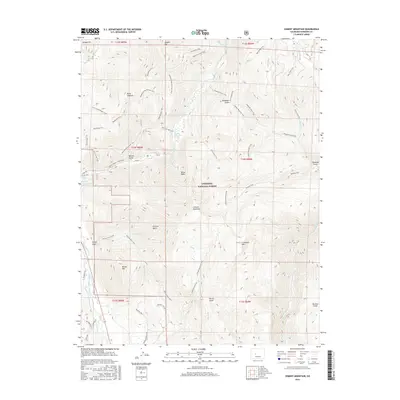
2016 Map of Cement Mountain
USGS Topo · Published 2016About this map
Cement Mountain and its eastern neighbor E Cement Mtn dominate this high-altitude landscape within the Gunnison National Forest. The 2016 survey documents a dense network of forest trails and primitive roads, including the Cement Mountain Trail and the Reno Ridge Trail, which follow the contours of the West Elk Mountains. Water sources are a defining characteristic of the terrain, from thermal features like Cement Creek Hot Spring and Ranger Hot Spring to the higher reaches of Cement Cr and Granite Cr. The map shows several basins and gulches named for local families or geographical features, such as Eccher Gulch, Rarick Gulch, and Walrod Gulch. In the southwestern corner, the East River-Number 1 Ditch indicates early water management efforts for agricultural or livestock use downstream.
Find a feature on this map
60 named features on this map. Tap any name to fly to it.
Don’t see what you’re looking for? This feature index may not catch every label — zoom into the map to look around manually.
Map Details
Editions of this 2016 Cement Mountain Map
This is the sole edition of this map. No revisions or reprints were ever made.
Other maps of this area

1888 · Crested Butte
USGS Topo · 1:62,500

1889 · Crested Butte
USGS Topo · 1:62,500

1893 · Crested Butte
USGS Topo · 1:62,500

1934 · Taylor Park
USGS Topo · 1:62,500

1937 · Taylor Park
USGS Topo · 1:62,500

1941 · Pitkin
USGS Topo · 1:62,500

1945 · Pitkin
USGS Topo · 1:62,500

1956 · Montrose
USGS Topo · 1:250,000

1959 · Montrose
USGS Topo · 1:250,000

1960 · Montrose
USGS Topo · 1:250,000