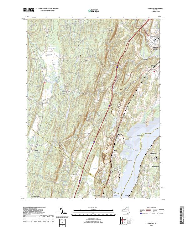
2023 Map of Cementon
USGS Topo · Published 2023About this map
The Hudson River serves as the central artery for this Hudson Valley landscape, defining the corridor between the Catskill foothills and the eastern riverbank. In the industrial hamlet of Cementon, the terrain transitions from the lowlands of the Great Vly toward the prominent elevations of Timmerman Hill and Bethel Ridge. The river itself is partitioned into distinctive reaches and coves, including North German Town Reach and Inbocht Bay, which separate the mainland from river features like Bush Island and Wanton Island.
Find a feature on this map
130 named features on this map. Tap any name to fly to it.
Don’t see what you’re looking for? This feature index may not catch every label — zoom into the map to look around manually.
Map Details
Editions of this 2023 Cementon Map
This is the sole edition of this map. No revisions or reprints were ever made.
Other maps of this area

1892 · Kaaterskill
USGS Topo · 1:62,500

1893 · Kaaterskill
USGS Topo · 1:62,500

1893 · Coxsackie
USGS Topo · 1:62,500

1893 · Durham
USGS Topo · 1:62,500

1894 · Coxsackie
USGS Topo · 1:62,500

1894 · Kaaterskill
USGS Topo · 1:62,500

1894 · Durham
USGS Topo · 1:62,500

1895 · Catskill
USGS Topo · 1:62,500

1899 · Kaaterskill
USGS Topo · 1:62,500

1903 · Kaaterskill
USGS Topo · 1:62,500