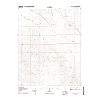
2015 Map of Centennial Canyon
USGS Topo · Published 2015About this map
Coso Range dominates this topographic study of Inyo County, where the northern reaches of the Mojave Desert meet a complex network of arid canyons and high basins. The landscape is defined by its dramatic elevation changes, centered on the expansive Joshua Flat and the neighboring Lower Centennial Flat. These high-altitude flats are bounded by prominent vertical features like Sugar Loaf, reflecting the geological character of the Basin and Range province. Water sources are exceptionally rare in this environment, with Lower Centennial Spring marking a vital point of interest for historical land use and desert navigation. Deep erosional features like Centennial Canyon and Vermillion Canyon cut through the terrain, revealing the drainage patterns that have shaped this high-desert region over millennia.
Find a feature on this map
12 named features on this map. Tap any name to fly to it.
Don’t see what you’re looking for? This feature index may not catch every label — zoom into the map to look around manually.
Map Details
Editions of this 2015 Centennial Canyon Map
This is the sole edition of this map. No revisions or reprints were ever made.
Other maps of this area

1908 · Ballarat
USGS Topo · 1:250,000

1913 · Ballarat
USGS Topo · 1:250,000

1948 · Death Valley
USGS Topo · 1:250,000

1950 · Darwin
USGS Topo · 1:62,500

1951 · Darwin
USGS Topo · 1:62,500

1951 · Keeler
USGS Topo · 1:62,500

1951 · Haiwee Reservoir
USGS Topo · 1:62,500

1951 · Coso Peak
USGS Topo · 1:62,500

1954 · Death Valley
USGS Topo · 1:250,000

1956 · Death Valley
USGS Topo · 1:250,000