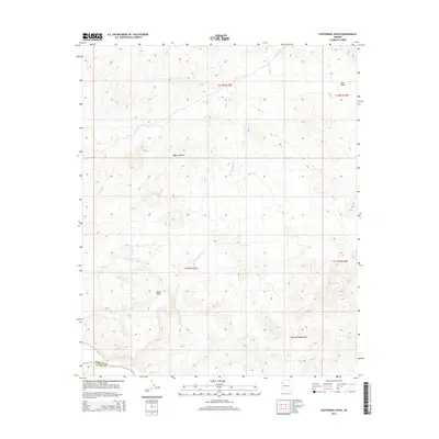
2014 Map of Centennial Wash
USGS Topo · Published 2014About this map
Centennial Wash carves through this arid section of the Mojave Desert, marking the transition between the rugged Rawhide Mountains to the south and the high elevations of Black Mesa near the center of the quadrangle. This 2014 survey captures the landscape's natural drainage patterns, notably at Ester Basin in the northeast. The map illustrates the administrative geography of the region, defining the shared boundary between Mohave and La Paz Counties where they intersect with the township and range survey lines of T11N and T12N. The absence of developed settlements highlights the remote character of this desert terrain, where the dry wash serves as the primary geographic corridor through the mountainous interior.
Find a feature on this map
10 named features on this map. Tap any name to fly to it.
Don’t see what you’re looking for? This feature index may not catch every label — zoom into the map to look around manually.
Map Details
Editions of this 2014 Centennial Wash Map
This is the sole edition of this map. No revisions or reprints were ever made.
Other maps of this area

1923 · Signal
USGS Topo · 1:250,000

1942 · Signal
USGS Topo · 1:250,000

1950 · Prescott
USGS Topo · 1:250,000

1954 · Prescott
USGS Topo · 1:250,000

1958 · Prescott
USGS Topo · 1:250,000

1959 · Prescott
USGS Topo · 1:250,000

1960 · Prescott
USGS Topo · 1:250,000

1965 · Prescott
USGS Topo · 1:250,000
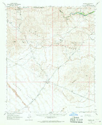
1966 · Swansea
USGS Topo · 1:62,500

1966 · Ives Peak
USGS Topo · 1:62,500