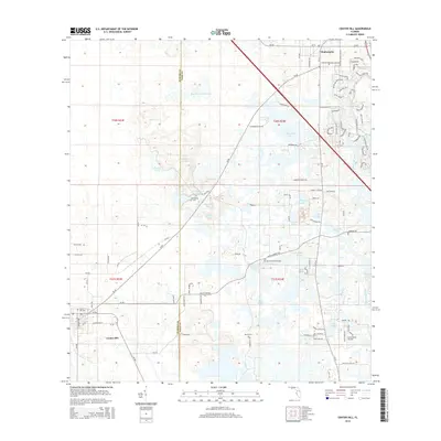
2015 Map of Center Hill
USGS Topo · Published 2015About this map
Center Hill and the northern outskirts of Okahumpka define the residential character of this mid-2010s survey along the Sumter and Lake County boundary. The landscape is a intricate network of depressions and sinkhole-formed water bodies, ranging from the large Wise Hammock Pond and Clearwater Lake to curiously named smaller features like Baptising Pond and Bigeye Hole. This hydrological pattern, typical of the central Florida ridge, creates a fragmented road network where rural routes like CR-48 navigate around marshy basins.
Find a feature on this map
77 named features on this map. Tap any name to fly to it.
Don’t see what you’re looking for? This feature index may not catch every label — zoom into the map to look around manually.
Map Details
Editions of this 2015 Center Hill Map
This is the sole edition of this map. No revisions or reprints were ever made.
Other maps of this area

1893 · Panasoffkee
USGS Topo · 1:62,500

1895 · Panasoffkee
USGS Topo · 1:62,500

1955 · Plant City
USGS Topo · 1:250,000

1955 · Orlando
USGS Topo · 1:250,000

1957 · Orlando
USGS Topo · 1:250,000

1958 · Orlando
USGS Topo · 1:250,000

1958 · Plant City
USGS Topo · 1:250,000

1958 · Webster
USGS Topo · 1:24,000

1958 · Bushnell
USGS Topo · 1:24,000

1959 · Plant City
USGS Topo · 1:250,000