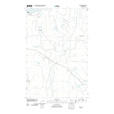
2011 Map of Center
USGS Topo · Published 2011About this map
Discovery Junction and the rural crossroads of Center anchor this landscape on the Olympic Peninsula, where the interior woodlands meet the southern reaches of Discovery Bay. The terrain is defined by a dense network of small water bodies including Gibbs Lake, Beausite Lake, and Tarboo Lake, connected by drainage systems like Chimacum Creek and Tarboo Creek. Settlement is concentrated along historical corridors such as Eaglemount RD and Center RD, reflecting a long-standing pattern of timber and small-scale agriculture. Notable landmarks like the City Lakes Dam and the Timberline Quarter Horse Farm Airport indicate the varied uses of the land, from water management to specialized rural enterprise. The map also records the recreational footprint of the region at the start of the 2010s, evidenced by the Leland Lake Campground and several named residential lanes that branch off the primary thoroughfares.
Find a feature on this map
54 named features on this map. Tap any name to fly to it.
Don’t see what you’re looking for? This feature index may not catch every label — zoom into the map to look around manually.
Map Details
Editions of this 2011 Center Map
This is the sole edition of this map. No revisions or reprints were ever made.
Other maps of this area
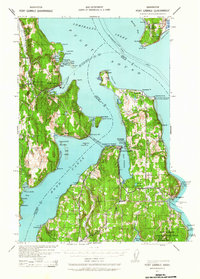
1937 · Port Gamble
USGS Topo · 1:62,500
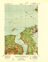
1939 · Port Townsend
USGS Topo · 1:62,500
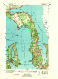
1939 · Coupeville
USGS Topo · 1:62,500
1940 · Port Gamble
USGS Topo · 1:62,500
1940 · Quilcene
USGS Topo · 1:62,500
1953 · Quilcene
USGS Topo · 1:24,000
1953 · Mt. Walker
USGS Topo · 1:24,000
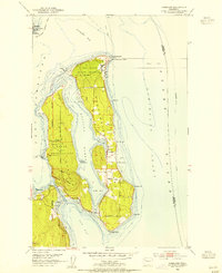
1953 · Nordland
USGS Topo · 1:24,000
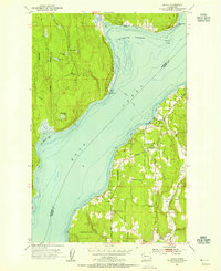
1953 · Lofall
USGS Topo · 1:24,000
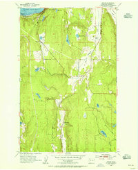
1953 · Center
USGS Topo · 1:24,000