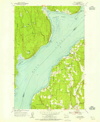
1953 Map of Lofall
USGS Topo · Published 1955About this map
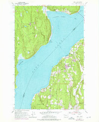
Hood Canal divides the rugged Olympic Peninsula from the Kitsap Peninsula in this early 1950s topographic study. The waterway is a central hub for transportation and recreation, anchored by the Lofall Ferry crossing toward Shine. Along the eastern shore, small coastal communities such as Vinland and Breidablick are visible, featuring local landmarks like the Vinland Church and Grange Hall. The landscape transitions from the developed eastern corridor near Four Corners to the more secluded western side, where Thorndyke Bay and several small upland lakes—Twin Lakes, Pheasant Lake, and Lost Lake—characterize the terrain.
Find a feature on this map
33 named features on this map. Tap any name to fly to it.
Don’t see what you’re looking for? This feature index may not catch every label — zoom into the map to look around manually.
Map Details
Editions of this 1953 Lofall Map
5 editions found
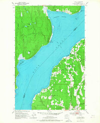
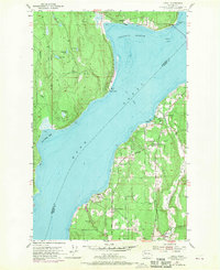
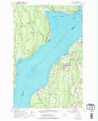
Other maps of this area

1936 · Point Misery
USGS Topo · 1:62,500

1937 · Port Orchard
USGS Topo · 1:62,500

1937 · Port Gamble
USGS Topo · 1:62,500

1940 · Port Gamble
USGS Topo · 1:62,500

1940 · Point Misery
USGS Topo · 1:62,500

1940 · Quilcene
USGS Topo · 1:62,500

1953 · Seabeck
USGS Topo · 1:24,000

1953 · Poulsbo
USGS Topo · 1:24,000

1953 · Quilcene
USGS Topo · 1:24,000

1953 · Hansville
USGS Topo · 1:24,000