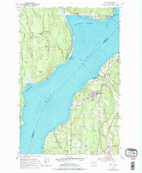
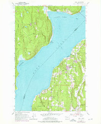
1953 Map of Lofall
USGS Topo · Published 1976About this map
Hood Canal divides the Kitsap and Toandos Peninsulas in this mid-century look at the Olympic Gateway. The Lofall Ferry provides a vital transportation link across the water, connecting the small settlement of Lofall on the eastern shore with the winding roads leading toward the interior. The landscape is dotted with evidence of early 20th-century community life, including the Standard Sch near Shine and the Grange Hall in Breidablick.
Find a feature on this map
33 named features on this map. Tap any name to fly to it.
Don’t see what you’re looking for? This feature index may not catch every label — zoom into the map to look around manually.
Map Details
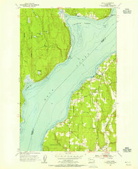
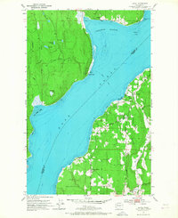
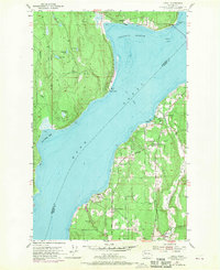
Editions of this 1953 Lofall Map
5 editions found
Other maps of this area

1936 · Point Misery
USGS Topo · 1:62,500

1937 · Port Orchard
USGS Topo · 1:62,500

1937 · Port Gamble
USGS Topo · 1:62,500

1940 · Port Gamble
USGS Topo · 1:62,500

1940 · Point Misery
USGS Topo · 1:62,500

1940 · Quilcene
USGS Topo · 1:62,500

1953 · Seabeck
USGS Topo · 1:24,000

1953 · Poulsbo
USGS Topo · 1:24,000

1953 · Quilcene
USGS Topo · 1:24,000

1953 · Hansville
USGS Topo · 1:24,000