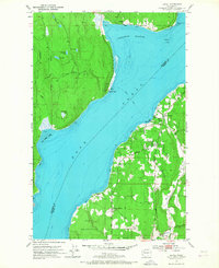
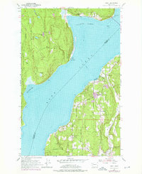
1953 Map of Lofall
USGS Topo · Published 1968About this map
Hood Canal divides the Kitsap and Toandos peninsulas in this early 1950s survey, where maritime transport and rural settlement define the shoreline. On the eastern shore, the Lofall Ferry provides a vital link across the water from Lofall, while the community of Breidablick sits just inland near its Grange Hall and cemetery. The map documents a landscape of small upland lakes such as Lost Lake and Pheasant Lake, surrounded by the Willamette Meridian survey lines. To the south, the Naval Reservation occupies a significant portion of the peninsula, reflecting the region's mid-century military importance. On the western bank, the small settlement of Shine is situated near Squamish Harbor and the Standard Sch, marking a period before modern bridge infrastructure replaced the established ferry routes and local lookout points like Shine Lookout.
Find a feature on this map
34 named features on this map. Tap any name to fly to it.
Don’t see what you’re looking for? This feature index may not catch every label — zoom into the map to look around manually.
Map Details
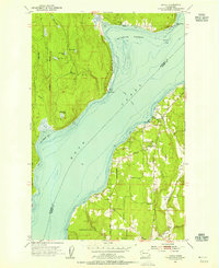
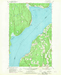
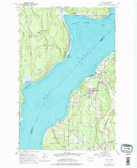
Editions of this 1953 Lofall Map
5 editions found
Other maps of this area

1936 · Point Misery
USGS Topo · 1:62,500

1937 · Port Orchard
USGS Topo · 1:62,500

1937 · Port Gamble
USGS Topo · 1:62,500

1940 · Port Gamble
USGS Topo · 1:62,500

1940 · Point Misery
USGS Topo · 1:62,500

1940 · Quilcene
USGS Topo · 1:62,500

1953 · Seabeck
USGS Topo · 1:24,000

1953 · Poulsbo
USGS Topo · 1:24,000

1953 · Quilcene
USGS Topo · 1:24,000

1953 · Hansville
USGS Topo · 1:24,000