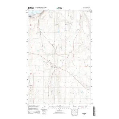
2014 Map of Center
USGS Topo · Published 2014About this map
Discovery Junction and Fairmont sit at the northern edge of this landscape, overlooking the waters of Discovery Bay as it opens into Puget Sound. Moving south from the shoreline, the terrain rises into the wooded uplands of Eaglemount, characterized by a complex network of small lakes and drainage systems. Water defines the topography here, from the larger basins of Gibbs Lake and Tarboo Lake to the meandering Chimacum Creek flowing through the Chimacum Valley.
Find a feature on this map
60 named features on this map. Tap any name to fly to it.
Don’t see what you’re looking for? This feature index may not catch every label — zoom into the map to look around manually.
Map Details
Editions of this 2014 Center Map
This is the sole edition of this map. No revisions or reprints were ever made.
Other maps of this area
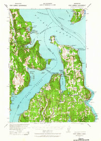
1937 · Port Gamble
USGS Topo · 1:62,500
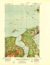
1939 · Port Townsend
USGS Topo · 1:62,500
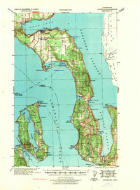
1939 · Coupeville
USGS Topo · 1:62,500
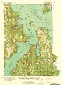
1940 · Port Gamble
USGS Topo · 1:62,500
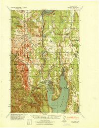
1940 · Quilcene
USGS Topo · 1:62,500
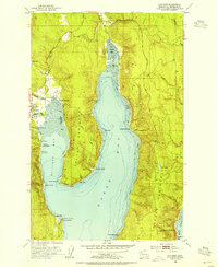
1953 · Quilcene
USGS Topo · 1:24,000
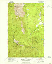
1953 · Mt. Walker
USGS Topo · 1:24,000
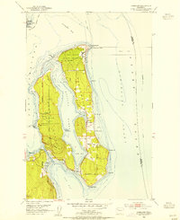
1953 · Nordland
USGS Topo · 1:24,000
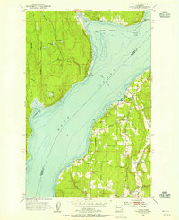
1953 · Lofall
USGS Topo · 1:24,000
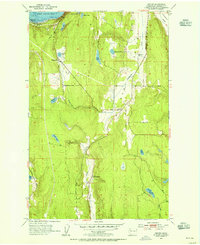
1953 · Center
USGS Topo · 1:24,000