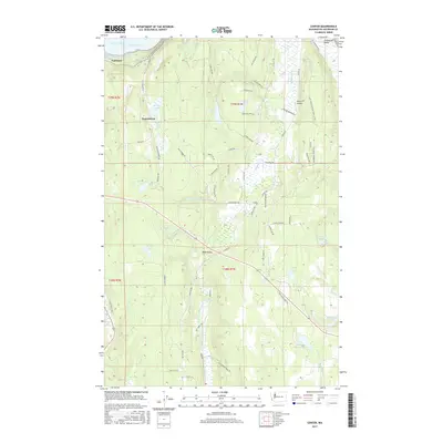
2017 Map of Center
USGS Topo · Published 2017About this map
Discovery Bay and the northern reaches of the Chimacum Valley define this portion of the Olympic Peninsula, where a network of small lakes and agricultural settlements has persisted for generations. The small crossroads at Center and West Valley anchor a landscape of timbered ridges and fertile lowlands, connected by the long-established Center Rd. Toward the northwest, the settlement of Fairmont overlooks the saltwater, while the Pacific NW National Scenic Trail winds through the hills near Eaglemount.
Find a feature on this map
69 named features on this map. Tap any name to fly to it.
Don’t see what you’re looking for? This feature index may not catch every label — zoom into the map to look around manually.
Map Details
Editions of this 2017 Center Map
This is the sole edition of this map. No revisions or reprints were ever made.
Other maps of this area
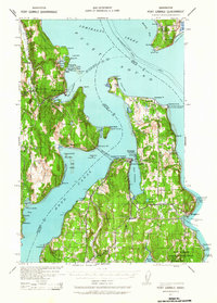
1937 · Port Gamble
USGS Topo · 1:62,500
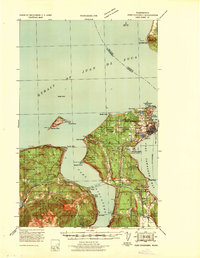
1939 · Port Townsend
USGS Topo · 1:62,500
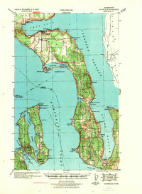
1939 · Coupeville
USGS Topo · 1:62,500
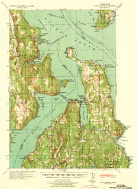
1940 · Port Gamble
USGS Topo · 1:62,500
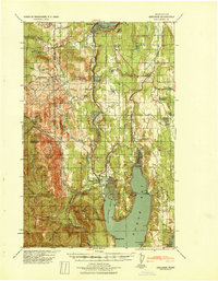
1940 · Quilcene
USGS Topo · 1:62,500
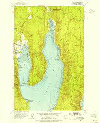
1953 · Quilcene
USGS Topo · 1:24,000
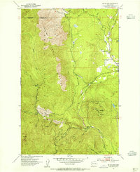
1953 · Mt. Walker
USGS Topo · 1:24,000
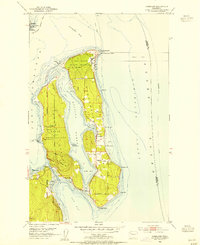
1953 · Nordland
USGS Topo · 1:24,000
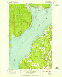
1953 · Lofall
USGS Topo · 1:24,000
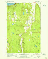
1953 · Center
USGS Topo · 1:24,000