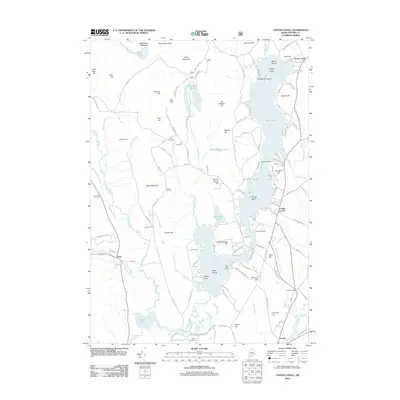
2012 Map of Center Lovell
USGS Topo · Published 2012About this map
Kezar Lake dominates the central geography of this Western Maine landscape, with its irregular shoreline creating landmarks like Pigeon Point and Timber Island. The surrounding terrain is defined by numerous peaks, including Rattlesnake Mountain and Lord Hill, which hem in the narrow valleys where settlements like Center Lovell and North Lovell took root. Genealogists will find several family-named burial sites scattered across the highlands, such as the Fox Cemetery and Smith Cemetery, often located near older road traces like Old Deer Hill Rd. The map also illustrates the seasonal and recreational character of the region through established sites like Camp Mudiekewis and Camp Aqawam. Water systems, including the Cold River and Sucker Brook, connect the various ponds and hills, illustrating a drainage pattern that has historically shaped the timber and agricultural limits of Oxford County.
Find a feature on this map
136 named features on this map. Tap any name to fly to it.
Don’t see what you’re looking for? This feature index may not catch every label — zoom into the map to look around manually.
Map Details
Editions of this 2012 Center Lovell Map
This is the sole edition of this map. No revisions or reprints were ever made.
Other maps of this area

1893 · Gorham
USGS Topo · 1:62,500

1894 · North Conway
USGS Topo · 1:62,500

1896 · North Conway
USGS Topo · 1:62,500

1896 · Gorham
USGS Topo · 1:62,500

1909 · Fryeburg
USGS Topo · 1:62,500

1911 · Fryeburg
USGS Topo · 1:62,500

1914 · Bethel
USGS Topo · 1:62,500

1937 · Gorham
USGS Topo · 1:48,000

1940 · Bethel
USGS Topo · 1:62,500

1941 · Bethel
USGS Topo · 1:62,500