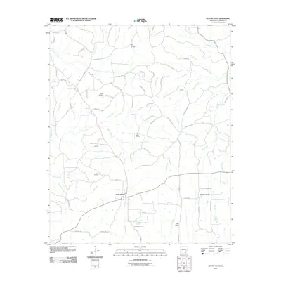
2011 Map of Center Point
USGS Topo · Published 2011About this map
Center Point sits at the junction of several rural routes in Howard County, serving as a hub for a landscape defined by its creek valleys and extensive timber access roads. The 2011 topography reveals a high density of burial grounds throughout the area, including Old Salem Cemetery, Holly Creek Cemetery, and Fellowship Cemetery, which suggest long-standing family settlements along the ridges. North of the community, the headwaters of Blue Bayou and Thompson Branch carve through the terrain, while the extensive network of Weyco roads indicates the prominence of the local timber industry. Further south, the map details established sites like Camp Ebenezer and Pea Ridge, alongside water management features such as Barnes Lake Dam and McAdams Lake Dam. This record provides a clear view of the intersection between established rural communities and the commercial forestry that shapes the modern Arkansas landscape.
Find a feature on this map
74 named features on this map. Tap any name to fly to it.
Don’t see what you’re looking for? This feature index may not catch every label — zoom into the map to look around manually.
Map Details
Editions of this 2011 Center Point Map
This is the sole edition of this map. No revisions or reprints were ever made.
Other maps of this area

1906 · Caddo Gap
USGS Topo · 1:125,000

1913 · De Queen
USGS Topo · 1:125,000

1950 · Mcalester
USGS Topo · 1:250,000

1951 · Mineral Springs North
USGS Topo · 1:24,000

1951 · Nashville
USGS Topo · 1:24,000

1951 · Silver Ridge
USGS Topo · 1:24,000

1953 · Texarkana
USGS Topo · 1:250,000

1953 · El Dorado
USGS Topo · 1:250,000

1955 · Little Rock
USGS Topo · 1:250,000

1956 · Texarkana
USGS Topo · 1:250,000