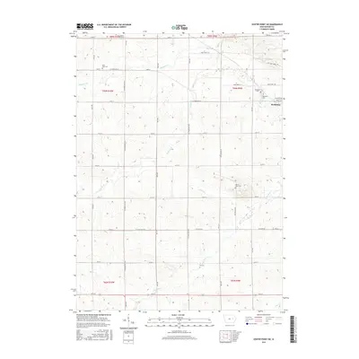
2015 Map of Center Point SW
USGS Topo · Published 2015About this map
Shellsburg anchors the eastern edge of this Benton County landscape, situated where the terrain begins to ripple with the drainage of Bear Cr and Wildcat Cr. The area is defined by a dense grid of rural roads and county trunks, including Co Trunk Hwy W14 and Co Trunk Hwy W18, which connect numerous generational sites. Genealogists will find significant value in the distribution of local burial grounds, such as Oakwood Cem and Shellsburg Cem near the town center, as well as the more isolated Parkers Grove Cem and First Eden Cem further afield. To the south, Little Bear Cr and Dry Cr wind through the township boundaries, illustrating the natural water network that has influenced local farmstead placement for decades.
Find a feature on this map
48 named features on this map. Tap any name to fly to it.
Don’t see what you’re looking for? This feature index may not catch every label — zoom into the map to look around manually.
Map Details
Editions of this 2015 Center Point SW Map
This is the sole edition of this map. No revisions or reprints were ever made.
Other maps of this area

1888 · Shellsburg
USGS Topo · 1:62,500

1888 · Amana
USGS Topo · 1:62,500

1889 · Amana
USGS Topo · 1:62,500

1889 · Shellsburg
USGS Topo · 1:62,500

1899 · Amana
USGS Topo · 1:62,500

1899 · Shellsburg
USGS Topo · 1:62,500

1903 · Fairfax
USGS Topo · 1:125,000

1903 · Winthrop
USGS Topo · 1:125,000

1954 · Waterloo
USGS Topo · 1:250,000

1954 · Des Moines
USGS Topo · 1:250,000