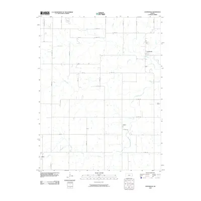
2009 Map of Centerville
USGS Topo · Published 2009About this map
Centerville serves as the primary hub of this eastern Kansas landscape, situated near the winding course of Sugar Creek. The rural character of the region is defined by a dense grid of section roads like Arthur Rd and Cassida Rd, which connect small communities and homesteads. Further south, the settlements of Vance and Selma anchor the farming districts, while Oakwood Cemetery provides a focal point for local genealogical interest near the South Fork Sugar Creek. The terrain is drained by a network of waterways including Saline Creek in the north and Little Gus Creek in the southwest, illustrating the drainage patterns that have historically dictated property lines and road placements. Aviation history is represented by the inclusion of Horttor Airport on the eastern edge of the quadrangle, highlighting the modern infrastructure integrated into this traditional agricultural setting.
Find a feature on this map
37 named features on this map. Tap any name to fly to it.
Don’t see what you’re looking for? This feature index may not catch every label — zoom into the map to look around manually.
Map Details
Editions of this 2009 Centerville Map
This is the sole edition of this map. No revisions or reprints were ever made.
Other maps of this area

1885 · Garnett
USGS Topo · 1:125,000

1887 · Mound City
USGS Topo · 1:125,000

1893 · Mound City
USGS Topo · 1:125,000

1894 · Garnett
USGS Topo · 1:125,000

1947 · Lawrence
USGS Topo · 1:250,000

1950 · Lawrence
USGS Topo · 1:250,000

1956 · Lawrence
USGS Topo · 1:250,000

1961 · Lawrence
USGS Topo · 1:250,000

1963 · Parker
USGS Topo · 1:24,000
1966 · Mound City NW
USGS Topo · 1:24,000