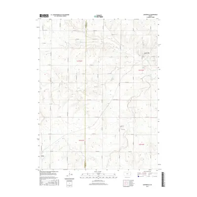
2015 Map of Centerville
USGS Topo · Published 2015About this map
Centerville and Selma serve as the primary hubs in this section of eastern Kansas, situated along the border of Anderson Co and Linn Co. The landscape is defined by a dense network of sectional roads and the meandering courses of local waterways. Drainage for the region is provided by the eastward flow of Saline Cr and Sugar Cr, along with the S Fork Sugar Cr and Little Gus Cr. The rural character of the area is emphasized by landmarks like Oakwood Cem and Wesley Chapel Rd, which suggest the location of long-standing community centers. This topography reflects the agrarian settlement patterns common in the central United States, where small townships grew along established road grids and natural creek beds.
Find a feature on this map
50 named features on this map. Tap any name to fly to it.
Don’t see what you’re looking for? This feature index may not catch every label — zoom into the map to look around manually.
Map Details
Editions of this 2015 Centerville Map
This is the sole edition of this map. No revisions or reprints were ever made.
Other maps of this area

1885 · Garnett
USGS Topo · 1:125,000

1887 · Mound City
USGS Topo · 1:125,000

1893 · Mound City
USGS Topo · 1:125,000

1894 · Garnett
USGS Topo · 1:125,000

1947 · Lawrence
USGS Topo · 1:250,000

1950 · Lawrence
USGS Topo · 1:250,000

1956 · Lawrence
USGS Topo · 1:250,000

1961 · Lawrence
USGS Topo · 1:250,000

1963 · Parker
USGS Topo · 1:24,000
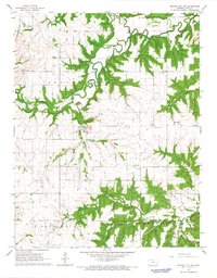
1966 · Mound City NW
USGS Topo · 1:24,000