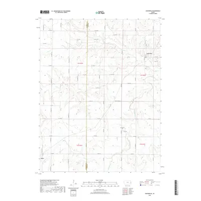
2018 Map of Centerville
USGS Topo · Published 2018About this map
Centerville sits at the junction of Co Rd 1077 and W 1350th Rd, serving as a central hub in this agricultural region of eastern Kansas. The landscape is defined by the winding paths of several waterways, including Saline Cr in the north and the larger South Fork Sugar Creek to the east. These drainages create a complex topography of low ridges and valleys that break up the grid of section lines and county roads.
Find a feature on this map
49 named features on this map. Tap any name to fly to it.
Don’t see what you’re looking for? This feature index may not catch every label — zoom into the map to look around manually.
Map Details
Editions of this 2018 Centerville Map
This is the sole edition of this map. No revisions or reprints were ever made.
Other maps of this area

1885 · Garnett
USGS Topo · 1:125,000

1887 · Mound City
USGS Topo · 1:125,000

1893 · Mound City
USGS Topo · 1:125,000

1894 · Garnett
USGS Topo · 1:125,000

1947 · Lawrence
USGS Topo · 1:250,000

1950 · Lawrence
USGS Topo · 1:250,000

1956 · Lawrence
USGS Topo · 1:250,000

1961 · Lawrence
USGS Topo · 1:250,000

1963 · Parker
USGS Topo · 1:24,000
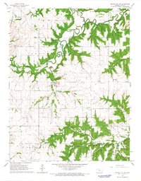
1966 · Mound City NW
USGS Topo · 1:24,000