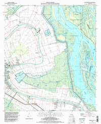
1994 Map of Centerville
USGS Topo · Published 1998About this map
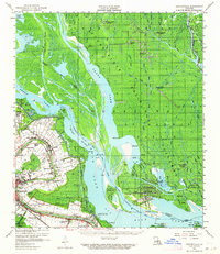
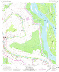
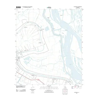
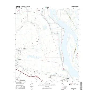
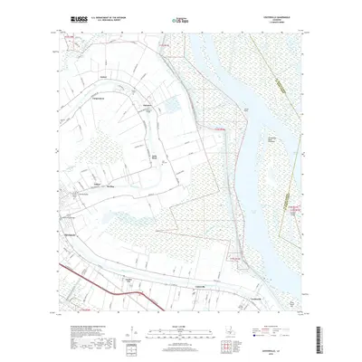
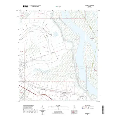
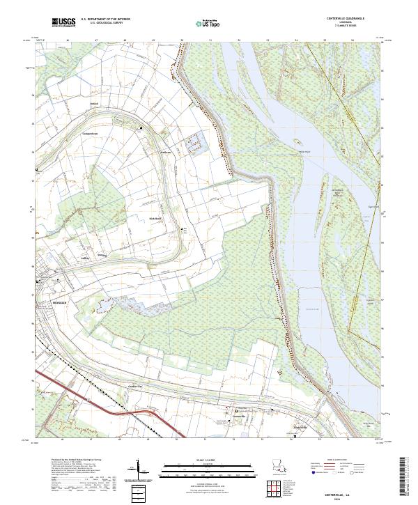
Bayou Teche defines the cultural and industrial geography of this St. Mary Parish landscape, with historical settlements like Centerville and Garden City lining its banks. The map reveals the critical relationship between the fertile riverside lands and the surrounding wetlands of the Atchafalaya Basin Floodway, where the West Protection Levee stands as a massive boundary against the waters of Grand Lake. Family-named landmarks and historical sites such as Oaklawn Cem and the Belleview Country Club highlight a long history of settlement in the area's sugarcane country. Further east, the terrain transitions into the labyrinthine waterways of the Attakapas Wildlife Management Area, characterized by deep-water passages like Cypress Pass and isolated points of land including Tiger Island. This survey captures the region as it balanced long-standing riverine agriculture with the infrastructure of the Charenton Oil and Gas Field.
Find a feature on this map
36 named features on this map. Tap any name to fly to it.
Don’t see what you’re looking for? This feature index may not catch every label — zoom into the map to look around manually.
Map Details
Editions of this 1994 Centerville Map
This is the sole edition of this map. No revisions or reprints were ever made.
Historical Maps of Franklin Through Time
8 maps found