Loading...
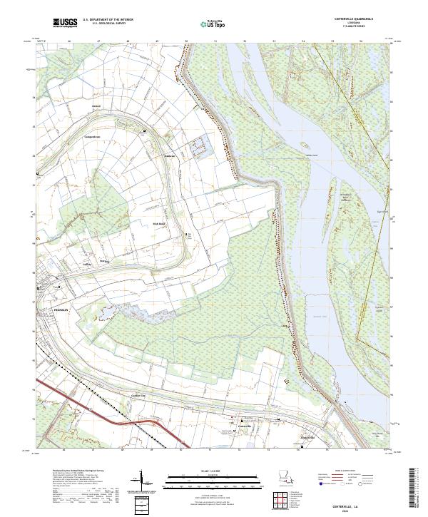
Loading map...1969 Map of Centerville
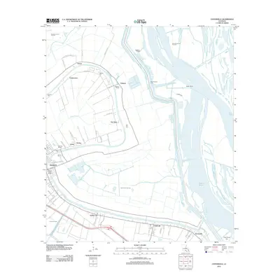
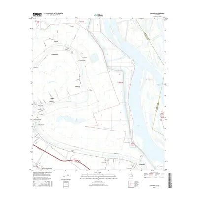
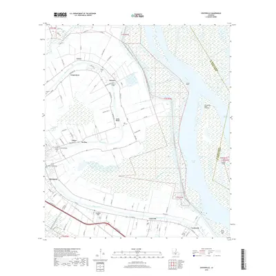
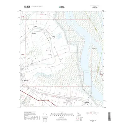
USGS Topo · Published 1981About this map
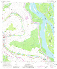
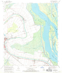
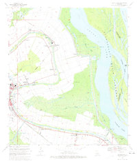
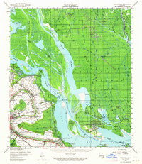
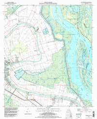
Bayou Teche defines the residential and agricultural heart of this St. Mary Parish landscape, winding past the historic seat at Franklin and through the community of Centerville. During the late 1960s, the region maintained a complex balance between its traditional bayou settlements and the industrial demands of the Oil and Gas Field. The map illustrates how the Southern Pacific and Missouri Pacific railroads served the corridor, connecting plantations like Oaklawn and Camperdown to the wider commerce of the Gulf Coast.
Find a feature on this map
53 named features on this map. Tap any name to fly to it.
Don’t see what you’re looking for? This feature index may not catch every label — zoom into the map to look around manually.
Map Details
Date Portrayed1969
Date Published1981
PublisherU.S. Geological Survey
Map TypeTopographic
Scale1:24,000
Physical Dimensions21.9 x 26.7 inches
Editions of this 1969 Centerville Map
3 editions found
Historical Maps of Franklin Through Time
8 maps found
Featured Locations
Source Details
SourceU.S. Geological Survey
CopyrightPublic Domain