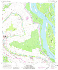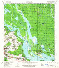
1959 Map of Centerville
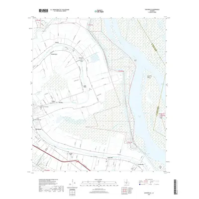
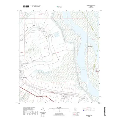
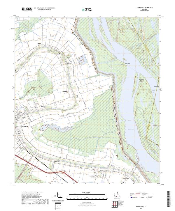
USGS Topo · Published 1964About this map
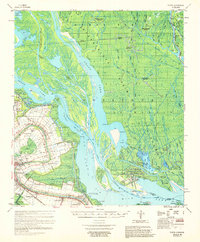
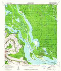
The Bayou Teche corridor defines the settlement patterns of St. Mary Parish in the late 1950s, with linear communities like Centerville and Franklin hugging the water's edge. This map reveals a complex land-use system where plantation-era estates like Oaklawn Manor and smaller settlements such as Verdunville and Garden City are tightly packed between the bayou and the heavy industrial infrastructure of the era. The landscape transitions abruptly from the cultivated strips of Irish Bend and Charenton into the massive Atchafalaya Basin Floodway. East of the levee, the terrain dissolves into a labyrinth of waterways like Big Bayou Pigeon and Bayou Long, increasingly dominated by the extraction economy of the Duck Lake Oil Field and Big Bayou Pigeon Oil Field. Genealogists will find notable local landmarks such as Evening Star Church, Immaculate Conception Ch, and the Israelite Cem located along the main road and rail lines of the Southern Pacific and Missouri Pacific.
Find a feature on this map
61 named features on this map. Tap any name to fly to it.
Don’t see what you’re looking for? This feature index may not catch every label — zoom into the map to look around manually.
Map Details
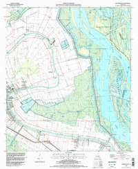
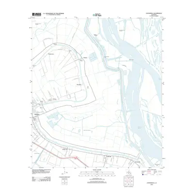
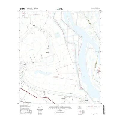
Editions of this 1959 Centerville Map
3 editions found
Historical Maps of Franklin Through Time
8 maps found