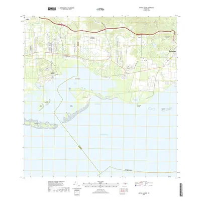
2018 Map of Central Aguirre
USGS Topo · Published 2018About this map
Central Aguirre and the surrounding coastline of southern Puerto Rico define this landscape, where industrial history meets a complex network of mangrove-lined inlets and lagoons. This late-stage survey reveals the interface between the urbanized grid of Guayama and the maritime environments of the Caribbean Sea. The topography transitions from the foothills of Monte Brujo down to the sea, where drainage features like the Canal de Patillas and Quebrada Aguas Verdes empty into the Bahía de Jobos. Cultural landmarks include the Cementerio Privado Valle del Sur Memorial Park near the eastern boundary. The southern edge of the island is heavily articulated by natural features such as Punta Rodeo, Punta Pozuelo, and the Cayos Caribes, illustrating the importance of the Puerto de Las Mareas- Jobos for regional maritime activity and coastal drainage patterns.
Find a feature on this map
34 named features on this map. Tap any name to fly to it.
Don’t see what you’re looking for? This feature index may not catch every label — zoom into the map to look around manually.
Map Details
Editions of this 2018 Central Aguirre Map
This is the sole edition of this map. No revisions or reprints were ever made.
Other maps of this area

1945 · Central Aguirre
USGS Topo · 1:30,000

1945 · Salinas
USGS Topo · 1:30,000

1946 · Patillas
USGS Topo · 1:30,000

1946 · Coamo
USGS Topo · 1:30,000

1946 · Cayey
USGS Topo · 1:30,000

1946 · Guayama
USGS Topo · 1:30,000

1947 · Patillas SO
USGS Topo · 1:10,000
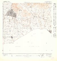
1947 · Guayama NO
USGS Topo · 1:10,000
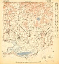
1947 · Central Aguirre NE
USGS Topo · 1:10,000

1947 · Cayey SO
USGS Topo · 1:10,000
Featured Places
- Las Mareas, Guayama
- Cimarrona, Guayama
- Parcelas Viejas de Cimarrona, Guayama
- Estancias de Villa Hermosa, Guayama
- Reunión, Guayama