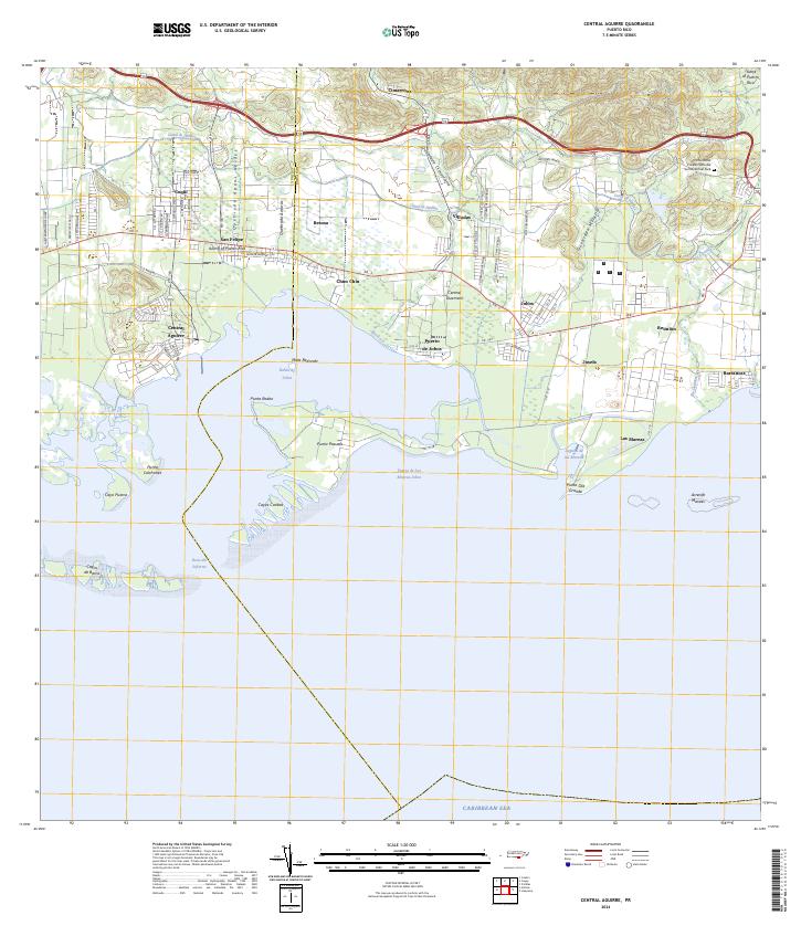
2024 Map of Central Aguirre
USGS Topo · Published 2024About this map
Bahía de Jobos dominates the southern coastline of this map, sheltered by a string of mangrove keys and points including Punta Pozuelo and Cayos Caribes. The coastal topography transitions from the mangrove-lined Laguna de las Mareas to the developed industrial and residential core at Central Aguirre. Further inland, the landscape is defined by the Canal de Patillas, an engineering feat that diverts water across the coastal plain through settlements like Coquí and Villodas.
Find a feature on this map
73 named features on this map. Tap any name to fly to it.
Don’t see what you’re looking for? This feature index may not catch every label — zoom into the map to look around manually.
Map Details
Editions of this 2024 Central Aguirre Map
This is the sole edition of this map. No revisions or reprints were ever made.
Other maps of this area

1945 · Central Aguirre
USGS Topo · 1:30,000

1945 · Salinas
USGS Topo · 1:30,000

1946 · Patillas
USGS Topo · 1:30,000

1946 · Coamo
USGS Topo · 1:30,000

1946 · Cayey
USGS Topo · 1:30,000

1946 · Guayama
USGS Topo · 1:30,000

1947 · Patillas SO
USGS Topo · 1:10,000
1947 · Guayama NO
USGS Topo · 1:10,000
1947 · Central Aguirre NE
USGS Topo · 1:10,000

1947 · Cayey SO
USGS Topo · 1:10,000
Featured Places
- Parcelas Viejas de Cimarrona, Guayama
- Las Mareas, Guayama
- Cimarrona, Guayama
- Estancias de Villa Hermosa, Guayama
- Reunión, Guayama